Midjourney · v7
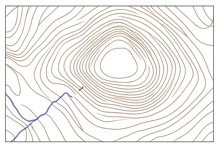
Topographic Map Contour Study
Tested: 2026-08-09
3:2 · 768 × 516
The prompt
Prompt
A topographic contour map line drawing on plain white paper, concentric irregular contour lines showing land elevation, a peak at the centre with closely spaced inner contours, contours spacing wider as the slope descends, a river line crossing the lower-left quadrant, a benchmark symbol at the summit, thin even brown ink for contours, a single blue line for the river, no shading, no color fill, no gradients, no hatching, generous white margin, cartographic survey style, no text, no letters, no numbers --ar 3:2 --stylize 80How to use this prompt
- 1
Open the generator that matches the model and version above, and start a new image rather than editing an existing one.
- 2
Set the output to 3:2 and apply the settings shown in the parameters panel — together those produced the 768 × 516 image on this page.
- 3
Paste the prompt exactly as written. Changing the wording changes the image, so copy it before you edit.
- 4
Generate, then change one thing at a time. The result will not be pixel-identical to the image on this page, because no seed is recorded for it.
Midjourney takes the aspect ratio as a parameter appended to the prompt rather than as a separate control, written as --ar 3:2, and --stylize followed by a number controls how far the model pushes its own aesthetic. Append both to the end of the prompt text instead of looking for fields for them.
Related prompts
More prompts from the same model, and prompts that share a use case with this one.
Midjourney
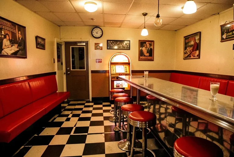
1950s Diner Interior with Jukebox and Checkered Floor
Midjourney
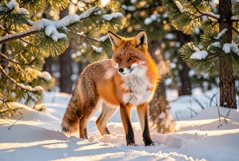
Alert Red Fox in a Snowy Pine Clearing
Midjourney
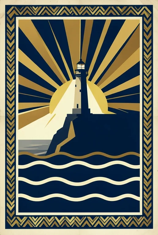
Art Deco Travel Poster Illustration
Midjourney
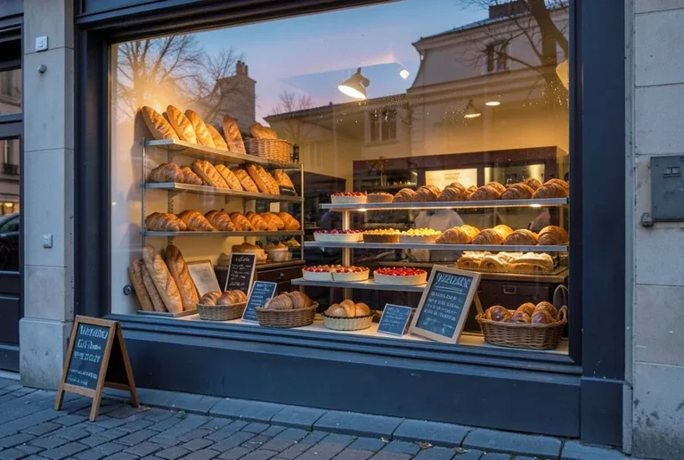
Bakery Window Display at Dawn
Midjourney
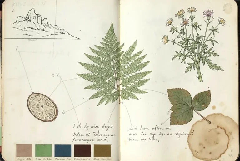
Botanical Journal Sketchbook Page with Fern Studies
Midjourney
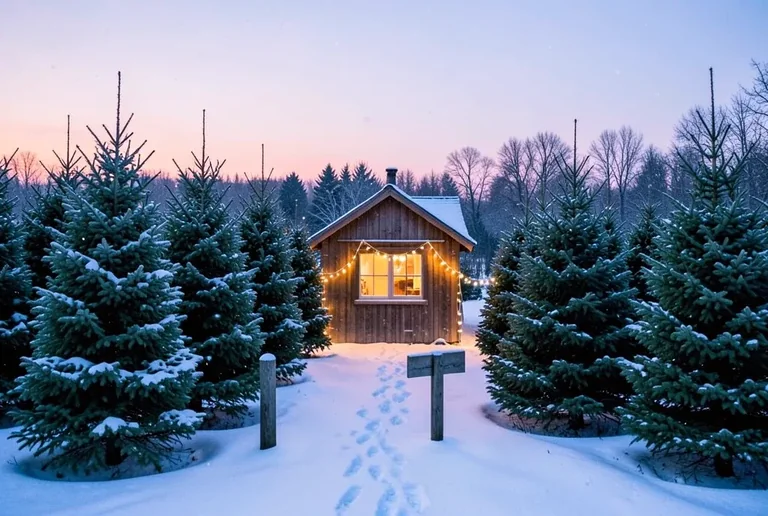
Christmas Tree Farm in a Snowy Field at Dusk